Melbourne's Best Walking Trails, Rated by Distance and Difficulty
From a flat riverside lap to a lung-burning hillside climb, here's where to take your fitness outdoors this winter.
4 min read
From a flat riverside lap to a lung-burning hillside climb, here's where to take your fitness outdoors this winter.
4 min read
Winter in Melbourne is no reason to stay inside. With Sydney's thermometers breaking 167-year records this June, Australia's climate conversation has never been louder — and for Melburnians, the cooler months remain some of the most reliably walkable of the year, with temperatures sitting between 8°C and 15°C through July. The city's trail network spans everything from a 3.8-kilometre inner-city loop to a 26-kilometre coastal track that demands waterproof boots and a packed lunch.
Outdoor movement has been linking itself more explicitly to mental health outcomes in recent years, and the evidence base keeps growing. Parks Victoria data from 2025 recorded over 12 million recreational visits to Melbourne's metropolitan parks and reserves in a single year. Against a backdrop of rising GP costs — a standard consultation now averages $92 out of pocket at many Melbourne clinics — free public trails have taken on an almost economic logic for health-conscious residents. That context makes knowing exactly what you're signing up for, in terms of distance and difficulty, genuinely useful.
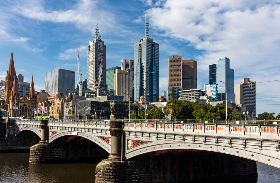
The Tan Track is the obvious first entry. The 3.8-kilometre loop around the Royal Botanic Gardens in South Yarra is almost entirely flat, running along Alexandra Avenue beside the Yarra River before curving back through the gardens' internal paths. It's measurable, accessible from the Domain Road tram stop (Route 8), and popular enough on a Saturday morning that the social pull alone gets some people out of bed. Melbourne Athletics Club officially uses the Tan for time trials — the record, set by Craig Mottram, sits at 10 minutes and 49 seconds — but for most visitors, a 40-minute walk at a moderate pace is more the pace.
The Main Yarra Trail is a step up in length without adding much elevation. The full route stretches 35 kilometres from Warrandyte to the CBD, but the section between Fairfield Boathouse in Alphington and Dights Falls in Collingwood covers roughly 5 kilometres and takes between 70 and 90 minutes at a walking pace. The Fairfield Boathouse, open since the 1920s, makes a decent turnaround point. Trail surface is sealed path for most of this stretch, suitable for strollers and older walkers.
Merri Creek Trail through Coburg and Brunswick offers a different proposition: 12 kilometres from Rushall Station in Fitzroy North to the Merri Creek–Darebin Creek confluence near Reservoir, with some moderate inclines through the Coburg section and a few unpaved stretches that can get muddy in July. Parks Victoria classifies it as Grade 3 — suitable for people with reasonable fitness. The trail passes through Merri Creek Parklands, where native revegetation work by the Merri Creek Management Committee has been ongoing since 1990.
The Dandenong Ranges offer Melbourne's toughest accessible day walk. The Kokoda Track Memorial Walk in Belgrave runs 10.6 kilometres through mountain ash forest and gains roughly 300 metres of elevation. Parks Victoria rates it Grade 4, recommending walkers allow five hours return. Car parking at the Kokoda Track trailhead on Mt Dandenong Tourist Road is free, and the walk is closed to dogs. It's a meaningful jump in difficulty from anything in the inner suburbs — blisters and knee strain are common complaints from first-timers who underestimate the root-covered descents.
For those sitting somewhere between the Tan and the Dandenongs, the Studley Park loop near Kew covers 6 kilometres of mixed terrain along the Yarra's upper reaches, including some short, steep pinches through native bushland above the river. It's reachable via the 48 tram to Kew Junction, then a 15-minute walk down Studley Park Road. Studley Park Boathouse, open daily, serves coffee and functions as a natural start and finish point.
Before you head out on anything above Grade 3, Parks Victoria recommends downloading its free Explorer app, which includes offline trail maps and current track closures — useful given July's wet weather can take sections out of action quickly. Consult your GP before significantly increasing exercise intensity, particularly if you've been inactive through the colder months.
Partner Content
SponsoredPartner Content lets Melbourne businesses reach engaged local readers with a clearly labelled, editorial-style feature. Every placement is marked Sponsored, in line with our sponsored content policy.
Business details including hours, menus and offerings may change. Verify directly with the venue before visiting.
About this article
Published by The Daily Melbourne
Daily brief
Free, in your inbox before 7am. Weekdays.
You might also like

Wellness
Wellness

Wellness

Wellness
Free daily briefing
The Daily Network